Brumadinho, Minas Gerais
Contemporary art among the mountains · Inhotim
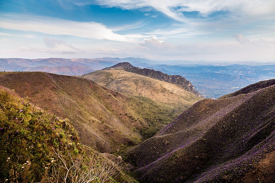
Brumadinho lies in the Paraopeba River valley, surrounded by mountain ranges such as Serra da Moeda and Serra do Rola-Moça. The name comes from the mists (brumas) that cover the region in the morning. The city is home to Instituto Inhotim, one of the largest open-air museums in the world, combining contemporary art and a botanical garden. The districts hold old churches, waterfalls, and mountain restaurants. In 2019 the municipality suffered the collapse of Vale's dam at Córrego do Feijão, remembered today by the Memorial Brumadinho.
Brumadinho at a glance
- Population: 39 thousand
- Area: 639 km²
- Elevation: 761 m
- Distance from Belo Horizonte: 56 km
- Demonym: brumadinhense
- Founded: 1938
- Region: Greater BH and Central
- Tourism region: IGR Veredas
- Area code: 31
- IBGE code: 3109006
Brumadinho is part of the tourism region IGR Veredas.
History
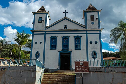
The region was settled by bandeirantes (colonial frontier explorers) in the late 17th century. The villages of São José do Paraopeba, Piedade do Paraopeba, Aranha, and Brumado do Paraopeba emerged. The Igreja de Nossa Senhora da Piedade, in Piedade do Paraopeba, dates from 1713.
Brumadinho was a district of Bonfim from 1891 and became independent on December 17, 1938. The Linha do Paraopeba railway helped settle the valley, and iron mining became the basis of the economy.
In 2006 Instituto Inhotim opened to the public, created by businessman Bernardo Paz. The museum turned Brumadinho into an international tourist destination, and the supply of hotel beds grew from 300 in 2008 to 1,300 in 2016.
On January 25, 2019, the dam at Vale's Mina Córrego do Feijão collapsed. The mud killed 270 people; families honor 272 lives, counting two unborn babies. On January 25, 2025, the Memorial Brumadinho was inaugurated in Córrego do Feijão.
Timeline
- 1713 · Igreja de Nossa Senhora da Piedade inaugurated
- 1891 · Brumadinho becomes a district of Bonfim
- 1929 · Corporação Musical Banda São Sebastião founded
- 1938 · Municipality becomes independent
- 1955 · Judicial district established
- 2006 · Instituto Inhotim opens to the public
- 2019 · Collapse of the Córrego do Feijão dam
- 2025 · Memorial Brumadinho inaugurated
Things to do in Brumadinho: attractions
Instituto Inhotim
Museum · Brumadinho
Open-air contemporary art museum and botanical garden, with about twenty galleries and pavilions.
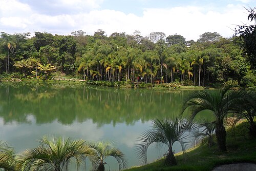
Parque Estadual da Serra do Rola-Moça
Nature · Entre Brumadinho e a Grande BH
Protected area with trails and viewpoints overlooking Greater BH.
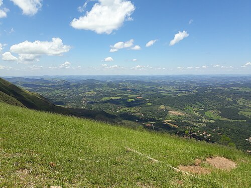
Serra da Moeda
Viewpoint · East of the municipality
Mountain range with a wide view of the Paraopeba valley, a hang gliding spot.
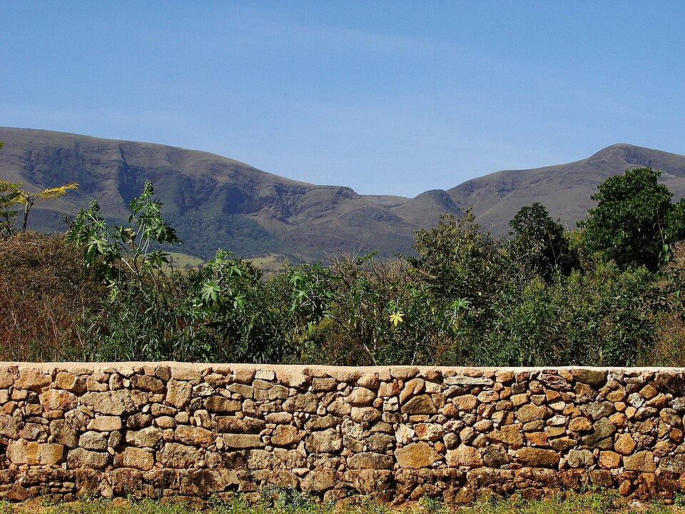
Topo do Mundo
Viewpoint · Serra da Moeda
Bar and restaurant at the top of Serra da Moeda, with a view of the valley.
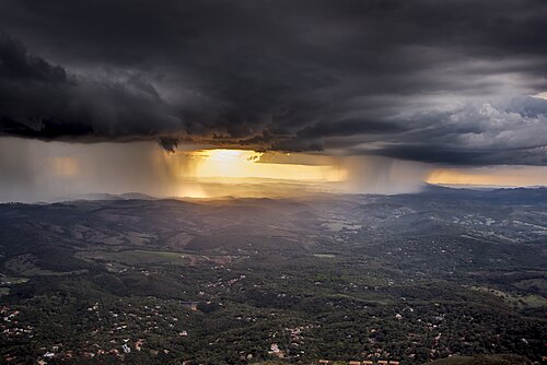
Casa Branca
Village · Brumadinho
Mountain locality with inns, restaurants, and treetop adventure courses.
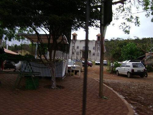
Piedade do Paraopeba
Historic village · District of Piedade do Paraopeba
Village with the Igreja de Nossa Senhora da Piedade, dating from 1713.
Memorial Brumadinho
Memorial · Córrego do Feijão
Memorial space for the dam victims, with exhibition rooms and a grove of 272 yellow ipê trees.
Veredas do Paraopeba
Historic circuit · Rural area
Route with sites listed by IEPHA, such as the Fazenda dos Martins, from the 18th century.
Mirante dos Veados
Viewpoint · Rural area
Natural viewpoint overlooking the region's mountain ranges.
Heritage
- Fazenda dos Martins · 18th-century rural complex listed by IEPHA
- Igreja de Nossa Senhora da Piedade · 1713 church in the village of Piedade do Paraopeba
- Igreja de Nossa Senhora das Dores · Church in Córrego do Feijão
Nature
- Serra do Rola-Moça · State park with viewpoints and trails
- Serra da Moeda · Mountain range with viewpoints and hang gliding
- Mananciais · Rio Manso reservoirs and the Catarina system supply the metropolitan region
Rivers and waters
- River basin: Rio São Francisco (Rio Paraopeba sub-basin)
- Rivers: Rio Paraopeba, Rio Manso
- Springs: The municipality and its neighbors supply about a quarter of Greater Belo Horizonte's water, through the Rio Manso and Catarina systems.
Climate
- Type: Tropical highland
- Winter: Dry, with cold nights
- Summer: Hot and rainy
- Best time to visit: April to October, in the dry season
Typical food
- Cachaça · Local production celebrated at the Festa da Cachaça
- Mexerica · Tangerine celebrated with its own festival in the municipality
- Jabuticaba · Theme of one of the festivals on the local calendar
Festivals and events
- Feast of São Sebastião (Jan) · Traditional religious festival of the city
- Carnival (Feb) · Street parties and festivities downtown and in the districts
Fun facts
- The name comes from the mists that cover the valley in the mornings.
- Inhotim has about 5,000 plant species, including more than a thousand kinds of palm trees.
- In 2023 Inhotim opened a gallery dedicated to Japanese artist Yayoi Kusama.
- Ingá mineral water is extracted in the municipality.
Getting there
- Belo Horizonte · 56 km via BR-381 and MG-040, passing through Mário Campos
Districts
Notable people from Brumadinho
- Bernardo Paz · Businessman who created the Instituto Inhotim
- Tarcílio Gomes da Costa · Founder of the Banda São Sebastião, in 1929
People born in Brumadinho
- Antônio Severino de Rezende Lobo · Político do Brasil · b. 1954
- Carlos Evaristo da Silva · Político do Brasil · b. 1963
- Janete Aparecida Silva Oliveira · Política brasileira · b. 1975
- Jerson Braga Maia · Político do Brasil · b. 1961
- Ney Marques de Sousa · Brazilian footballer
City hall
- Mayor: Gabriel Parreiras (Gabriel Augusto Viotti Parreiras) (PRD), term 2025–2028
- Address: Rua Maria Maia, 157, Brumadinho, MG, CEP 35460-000
- Website: brumadinho.mg.gov.br
Frequently asked questions
Where is Brumadinho?
Brumadinho is a municipality in the state of Minas Gerais, Brazil, in the Greater BH and Central region, 56 km from Belo Horizonte.
What is there to do in Brumadinho?
The attractions of Brumadinho include Instituto Inhotim, Parque Estadual da Serra do Rola-Moça, Serra da Moeda, Topo do Mundo, Casa Branca, Piedade do Paraopeba.
What is the population of Brumadinho?
Brumadinho has about 39 thousand inhabitants in an area of 639 km².
What is the typical food of Brumadinho?
Cachaça (Local production celebrated at the Festa da Cachaça); Mexerica (Tangerine celebrated with its own festival in the municipality); Jabuticaba (Theme of one of the festivals on the local calendar).
When is the best time to visit Brumadinho?
April to October, in the dry season. The climate is tropical highland.
How do you get to Brumadinho?
Belo Horizonte: 56 km via BR-381 and MG-040, passing through Mário Campos.
Who was born in Brumadinho?
Notable people from Brumadinho include Bernardo Paz, Tarcílio Gomes da Costa, Antônio Severino de Rezende Lobo (politician of brazil), Carlos Evaristo da Silva (politician of brazil), Janete Aparecida Silva Oliveira (brazilian politician), Jerson Braga Maia (politician of brazil), Ney Marques de Sousa (brazilian footballer).
Which tourism region is Brumadinho part of?
Brumadinho is part of IGR Veredas, one of the 47 official tourism regions of Minas Gerais, with 11 municipalities.
What are the festivals of Brumadinho?
Feast of São Sebastião (Jan), Carnaval (Feb).
What are people from Brumadinho called?
People born in Brumadinho are called brumadinhense.
Towns near Brumadinho
- Mário Campos · 10 km in a straight line
- Igarapé · 14 km in a straight line
- São Joaquim de Bicas · 14 km in a straight line
- Sarzedo · 14 km in a straight line
- Rio Manso · 17 km in a straight line
- Bonfim · 20 km in a straight line
- Betim · 20 km in a straight line
- Ibirité · 21 km in a straight line